By: Geoff Lerner
Over the last few years, I have spent quite a good deal of time doing research on and around Taranaki volcano. From road outcrops along the Surf Highway to river catchments and cliffs inside Egmont National Park to the remains of the volcano’s most recent lava dome at its summit, I collected samples at a wide variety of distances from the volcano in order to evaluate mass flow hazards at Mt. Taranaki
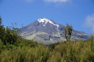
Mt. Taranaki seen from the western side. The remnant dome is at the top of the snowpack, and the large mass to the left of the snowpack is “The Turtle”, a large lava coulee that was part of the most recent dome.
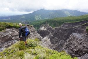
The top of Pyramid Stream in western Egmont National Park. The catchment walls are made up of layers of block-and-ash flow deposits from lava dome collapses.
In order to use paleomagnetic methods in the lab, we needed to collect oriented samples from the field. That means orienting each sample carefully before it was collected, either by drilling small cores with a converted chainsaw drill or by removing pieces of rock and matrix material from pyroclastic flow and lahar deposits.
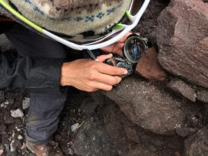
Orienting hand samples with a compass is a vital step in collecting paleomagnetic samples.
Using a combination of paleomagnetic, geochemical, stratigraphic, radiocarbon, and other methods, I have worked towards a better understanding of the past 1000 years of activity at Mt. Taranaki and what that can teach us about potential future eruptions. We have been able to come up with a detailed sequence of events for this time (called the Maero Eruptive Period), learning that Taranaki has had 11 eruptive episodes over the past 1000 years, with the most recent eruption happening in about 1790 AD.
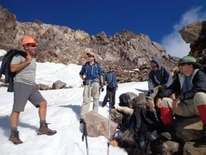
Our fieldwork team stands in Taranaki’s summit crater at about 2500 m discussing plans to drill paleomagnetic cores.
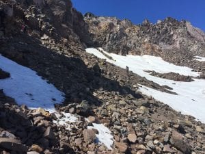
Exploring the amphitheater left behind in about 1790 AD when Taranaki’s summit lava dome collapsed to the west.
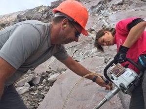
Getting the water cooled, converted-chainsaw drill prepared to take samples from the dome.
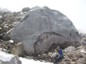
Taking notes next to a block of an andesite lava flow near the summit.
The research has also shown that most of Taranaki’s recent activity consisted of hot lava dome growth and collapse, often over very short time intervals. These collapses resulted in high speed, high temperature block-and-ash flows that usually travelled about 5-15 km from the volcano. However, our research also showed that past larger eruptions from Mt. Taranaki have resulted in pyroclastic flows which travelled at least 24 km from the volcano’s summit, significantly farther than ever identified before.
These new results about timing, type, and location of Mt. Taranaki’s recent hazards will have a significant impact on preparation and identification of future hazards at the volcano.
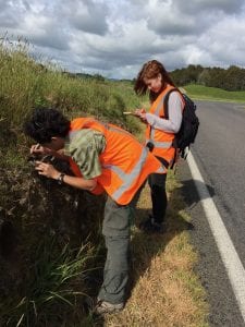
Orienting and collecting samples from pyroclastic flow deposits along Highway 45, about 20 km from the volcano’s summit.
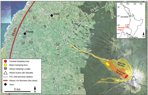
Map showing deposits from Taranaki’s most recent episode (red), past 1000 years (yellow), and deposits from 11,500 years ago farther from the volcano (white). Rings show where pyroclastic flows were thought to have reached before our research, and where we found them.